

The Lower Thames Valley Conservation Authority (LTVCA) is giving Chatham-Kent an early heads up that flooding is possible due to heavy rain in the forecast.
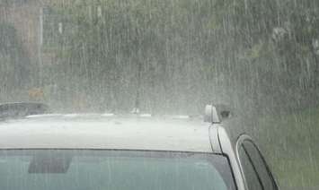
The LTVCA said some areas of the local watershed have seen substantial rain since Wednesday morning and ponding, standing water, and localized flooding could be expected around the watershed.
Smaller watercourses could also rise and some could spill their banks into adjacent low-lying areas, conservation officials added.
According to the LTVCA, between 25 and 50 mm of rain fell from Wednesday night to Thursday morning in most areas, with some getting less.
"The ground is saturated and will not be able to absorb much additional rain from thunderstorms," said LTVCA.
The Thames River is currently running higher than usual for this time of the year, but is not expected to spill its banks at this time, added the conservation authority.
The LTVCA urges people, pets, and livestock to avoid local waterways that are running high because slippery banks and fast-moving water can be dangerous.
The flooding information will be in effect until Sunday.